Hydrographic surveys show the elevations of land underwater. We provide the following types:
RES assisted in data collection efforts identified as Deepwater Horizon Oil Spill Restoration of Coffee Island, located in the Mississippi Sound.
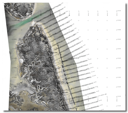
Our firm provided a single beam hydrographic survey of approximately 1.3 miles of shoreline. This project began approximately 600 feet seaward of the Eastern shoreline of Coffee Island with ranges surveyed at 100-foot intervals. These ranges were run towards the shoreline to a point of extreme shallow water. From there, RTK GPS was used to project these survey lines up and over the beach to the top bank and terminating point of said survey. Additionally, RES used its Trimble UX5 Survey Drone to collect an up-to-date georeferenced photo of the entire site and all subsurface breakwater features were located and shown on the survey.
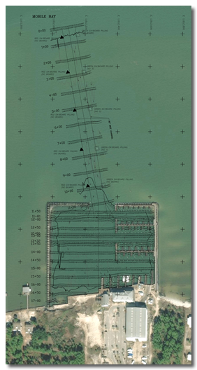
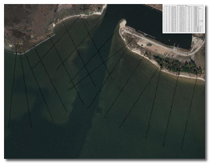
RES was contracted to perform a topographic and hydrographic survey of Lightning Point.
The hydrographic portion of the survey began at the South bank of Lightning Point and extended approximately 800 feet into the Mississippi Sound. This survey was run on 100-foot intervals and supplemented with RTK data along existing shoreline and upland areas. This survey was used for the engineering design of Lightning Point Restoration.
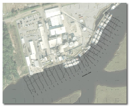
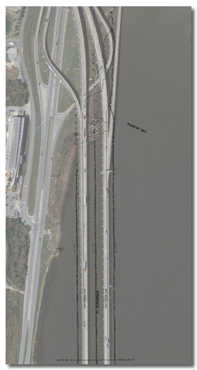
Hurricane Katrina devastated the Mississippi Gulf Coast, wiping out entire communities, severely damaging the oil refinery at Pascagoula and closing the Pascagoula River Ship Channel.
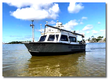
RES assisted defense contractor Northrop Grumman in the immediate opening of the Ship Channel, in order to service their shipyard, but also to allow ships to enter the Port bringing much needed petroleum fuels to the area. In an effort to assist in this effort, RES dispatched the survey vessel Captain Joe, equipped with an Atlas Fansweep 20 Multi-beam Transducer to survey 16 miles of the Pascagoula Channel and surveys of the Launch/Mooring areas within the Northrop Grumman Shipbuilding Facility. The survey work was conducted continuously 24 hours a day until the Ship Channel was reopened.