Our Leaders
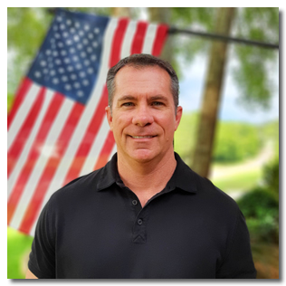
Zeke has over 30 years of expertise in land surveying, topographic surveying and hydrographic surveying. As President of Rowe Engineering & Surveying, Zeke is tasked with overseeing all surveying and drafting activities of the company as well as reviewing all surveys and writing legal descriptions. He is also responsible for estimating and preparing project proposals ranging from simple lot surveys to large scale surveying and hydrographic projects.
Zeke’s land surveying experience includes performing metes and bounds surveys, section surveys, topographic surveys, subdivision and construction stakeout. His duties include interpreting legal descriptions and evidence to prove or reconcile the position of boundary lines. His hydrographic surveying experience includes single beam bathymetry, multi-beam bathymetry, magnetometer and gradiometer surveys and side scan surveys.
Zeke is a member of the National Society of Professional Land Surveyors, Alabama Society of Professional Land Surveyors, Partners for Environmental Progress (PEP), and the Lions Club of Mobile. He is also a FAA Certified Drone Pilot.
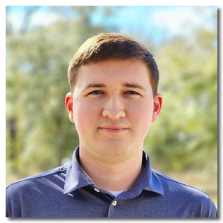
Jackson graduated with a Bachelor of Science in Civil Engineering from the University of Alabama. He has valuable experience in planning, designing, and scheduling phases for various scales of civil engineering projects. The majority of his portfolio consists of commercial and residential land development work, municipal park improvements, roadway infrastructure improvements, and utility main improvements. He has designed and developed full construction plan sets and attained required permitting for multiple commercial, residential, state, and municipal projects. As a segment of this, he has completed single-family residential subdivision design plans for several residential subdivision projects with a cumulative total of over one thousand lots. He also has field experience in performing ADEM erosion control compliance inspections, final punch list inspections, roadway proof-roll test inspections, and fire flow tests.

Andrew Hodges, EI
Engineer Intern
Andrew is a licensed Engineer Intern in the state of Mississippi. He graduated from the Richard A. Rula School of Civil & Environmental Engineering at Mississippi State University in 2022. He has experience working on RV Parks, Subdivisions, and Commercial Developments. His primary focus is on grading & drainage, site and roadway design as well as drafting on engineering projects.


